Running Things I Like: The Strava Flyover
Like most apps that are an industry leader in a sector, Strava is loved, hated, and/or mostly tolerated by its millions of users. Some people use it for good, and some people (cough cough, influencers) can be very annoying with it. I like Strava because I can keep track of my runs and see my stats (pace, distance, heart rate, elevation) and say to myself, “Wow, how am I so much slower than last week/month/year?”
I probably use about 20% of the functionality the very busy app offers. Here’s what I mainly use it for:
- Record a run and follow a route if I am somewhere new and don’t want to get too lost.
- Save the routes so I can run them again.
- Manage my shoes under the “Gear” section. It will tell me when I have run over a certain number of miles in a pair of shoes so I can think about buying a new pair (your aching feet will also tell you when your soles are worn out).
- Set weekly, monthly, and yearly distance goals for running and hiking.
- Follow friends to cheer them on and discover new places to run based on where they ran.
And here is my favorite feature, the Strava Flyover.
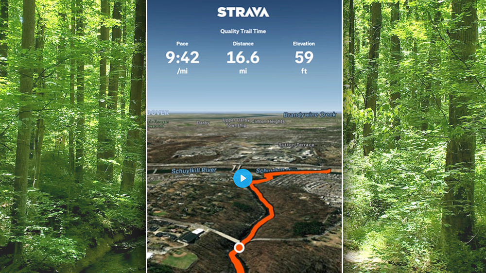
Strava subscribers can fly over activities and routes on a dynamic, 3D map. Flyover is only available on the Strava app and not yet on the Strava website. You can see Flyovers for your own routes, suggested routes, activities, segments, and any other Strava activities you can access.
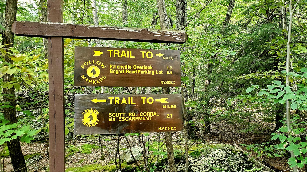
I run on a lot of trails in parks and in the woods and sometimes in the middle of nowhere. I’ll follow a route I created or found on Strava and hopefully, I’ll have a good idea of where I am at while trying to enjoy the scenery and disconnect for a while. When I’m done my run and reclining in bed drinking a Coke and eating a tub of hummus, I like to watch a flyover to see exactly where I was.
See an example flyover: Wissahickon Valley Park (press play button below).
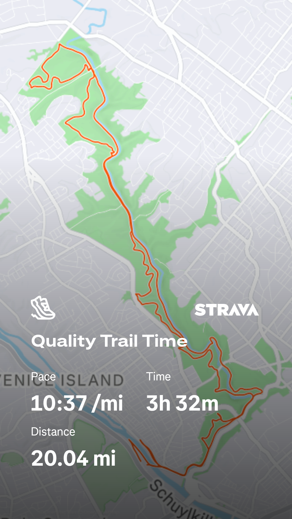
Pretty rad, huh? It’s fun for me because I don’t have the best sense of direction. When I’m watching where I ran on the flyover, I’m often amazed by what direction I was going during certain segments, “I was heading west??” or how close I was to landmarks that were not visible through the trees. “There’s a Wawa 100 feet from that trailhead?”
“Where do I find this cool feature, Jeff? There is so much dang stuff on the Strava screen.”
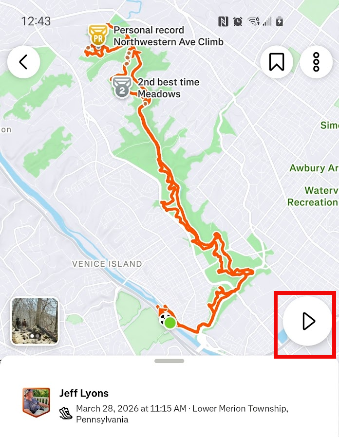
I hear ya, buddy. When you are done with an activity, open the app on your phone, click on the activity title, and you will see your stats. The flyover “arrow” button is in the bottom right corner of the map (highlighted in red below). Click that, sit back, and enjoy some popcorn.
Are you on Strava? Let’s follow each other. Here I am.

I enjoy being outside and running on trails and sometimes I enjoy being online. More >